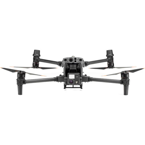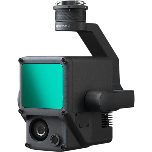
Extremely accurate ground and structure measurement is possible when adding the DJI Zenmuse L1 Lidar & RGB Gimbal Camera with Care Enterprise Basic for Matrice 300 RTK to your Matrice 300 RTK drone. The 3-axis stabilized gimbal houses a payload that combined a Livox Lidar module for precision laser measurement, a highly-accurate IMU for positional accuracy, and a 20MP RGB camera for full-color reference footage. The mapping accuracy the L1 provides has applications for a variety of professions, from surveying to law enforcement. The entire gimbal is IP54-rated so you can perform missions easily in rainy or foggy weather conditions.
Applications
These are just some of the professions and missions that the Zenmuse L1 can help you more easily perform with a high degree of precision.
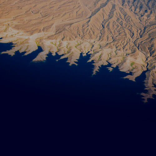
- Mapping & Surveying: Create topographic mapping and point clouds with accuracy down to 2" vertically and 4" horizontally
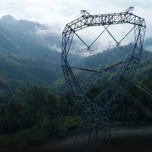
- Energy & Infrastructure: In applications such as DJI Terra, you can use the L1 to measure remote and/or complex structures and create 3D models
- Emergency & Policing: Getting real-time true-color point clouds lets first responders quickly understand their surroundings, providing them with situational awareness and forensic intelligence in order to make fast and informed decisions
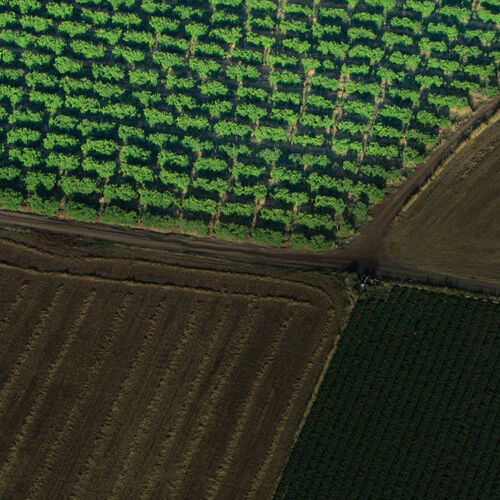
- Agriculture & Forestry: Get a bird's eye view of crops and nature to view vegetation density, area, stock volume, canopy width, and growth trends
Accuracy
To help with positional accuracy in space, the integrated IMU's vision sensor fuses GNSS, IMU, and RGB data. For the actual mapping of the environment, the Lidar module supports three returns for improved accuracy and a 240,000 pt/s point rate for the generation of true-color point clouds in real time.
Additional Features
- Cover approximately two square kilometers of area per flight
- Non-repetitive and repetitive Lidar scanning patterns
- Mechanical shutter on RGB camera
Items Included
- DJI Zenmuse L1 Lidar & RGB Gimbal Camera
DJI Zenmuse L1 Specs
General
| Compatibility | |
| System | |
| Camera Type | |
| Camera Type | |
| Camera Type |
Inputs / Outputs
| Data Storage |
Wireless
| Mobile App Compatible | |
| Global Positioning (GPS, GLONASS, etc.) |
Power
| Power Source | |
| Power Consumption |
Environmental
| Environmental Protection | |
| Operating Temperature | |
| Storage Temperature |
Physical
| Color | |
| Cable Length |
Designed for use with:
-
All Drones
- DJI Matrice 300
-
Other
- DJI MATRICE 300 RTK